

Professional Surveying Services

Elite Geomatics

We provide professional surveying, GIS, GNSS, UAV mapping, hydrographic survey, and engineering solutions with accuracy, innovation, and reliability.

Precision You Can Trust

Advanced Surveying & Geospatial Solutions

Elite Geomatics delivers accurate surveying, GIS, GNSS, UAV mapping, and spatial solutions for engineering, construction, infrastructure, and development projects.


Surveying

Land, engineering, and topographic surveying services.

GIS Solutions

Spatial analysis, mapping, and geospatial data management.

GNSS & UAV

High-accuracy GNSS surveying and drone mapping solutions.

Equipment

Surveying instruments, accessories, technical support, and supply.

Our Expertise

Surveying & Geospatial Services

service 1

1. Land Surveying

Accurate land boundary, cadastral, and property surveying services.

service 2

2. Topographic Surveying

Detailed topographic surveys for engineering, planning, and infrastructure projects.
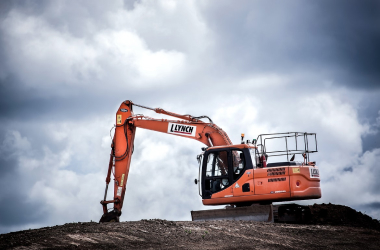
service 3

3. Engineering Surveying

Precise setting-out, construction control, and engineering measurement services.

services 4

4. GIS & Mapping

Spatial data analysis, digital mapping, and geographic information system solutions.

services 6

5. UAV Drone Mapping

High-resolution aerial mapping, orthophotos, and terrain modeling using UAV technology.
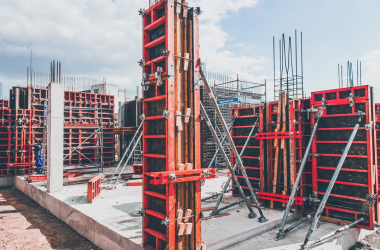
services 5

6. Survey Equipment Supply

Supply of GNSS receivers, Total Stations, accessories, and surveying equipment.

Accuracy & Reliability

Committed to Accuracy, Safety & Reliable Results

We apply professional surveying standards and modern geospatial technologies to deliver accurate, reliable, and safe solutions for every project.

Our Professional Approach

We combine technical expertise, modern equipment, and accurate geospatial data to deliver dependable results for engineering and development projects.

Industries We Serve

Geospatial Solutions Across Key Sectors

We provide surveying and geospatial solutions for engineering, construction, infrastructure, land development, and public-sector projects.

Construction & Engineering

Surveying, setting-out, quantity verification, and construction control services.

Infrastructure & Roads

Topographic surveys, route mapping, GIS analysis, and infrastructure data solutions.

Land & Property

Boundary surveys, cadastral mapping, land subdivision, and property documentation.

About Founders

Precision, Technology & Professional Expertise

Elite Geomatics provides professional surveying, GIS, GNSS, UAV mapping, and geospatial solutions to support engineering, infrastructure, construction, and land-development projects.

Whar Our Clients Say

Testimonials

h1 team img 04 100x100

Engineering Manager

Alice Howard

Lorem ipsum dolor sit amet, consectetur adipiscing elit. Ut elit tellus, luctus nec ullamcorper mattis, pulvinar dapibus leo.

team img 04 100x100

Interior Designer

Nathan Marshall

Lorem ipsum dolor sit amet, consectetur adipiscing elit. Ut elit tellus, luctus nec ullamcorper mattis, pulvinar dapibus leo.

h1 img 02 100x100

Architect

Ema Romero

Lorem ipsum dolor sit amet, consectetur adipiscing elit. Ut elit tellus, luctus nec ullamcorper mattis, pulvinar dapibus leo.

h2 team img 04

Manager

Ann Smith

Lorem ipsum dolor sit amet, consectetur adipiscing elit. Ut elit tellus, luctus nec ullamcorper mattis, pulvinar dapibus leo.

Request a Quote

Tell us about your surveying, GIS, mapping, or equipment requirements, and our team will contact you with the appropriate solution.

Learn More From

Frequently Asked Questions

We provide land surveying, topographic surveying, engineering surveying, construction setting-out, GNSS surveying, GIS mapping, and UAV mapping services.

Yes. We supply GNSS receivers, Total Stations, surveying accessories, software, and related geospatial equipment according to client requirements.

You can complete the quotation form, contact us by phone or WhatsApp, or send your project requirements by email. Our team will review the details and respond with the appropriate solution.

Please provide the project location, required service, approximate site area, expected deliverables, project schedule, and any available drawings or technical documents.

Service availability depends on the project location, scope, schedule, and logistical requirements. Contact us to confirm coverage for your area.